|
|
Troubridge Island
|
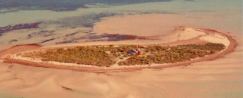
Postcard view c 1970. The light tower can be seen in the middle of
the island. Compare to the photo above, where the water is now
almost to the base of the tower.
In February 2000, a program
was undertaken in an attempt to stop the waters progress.
|
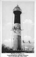
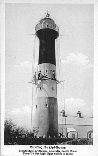
Old Postcard showing
workman painting the
tower.
(Source unknown)
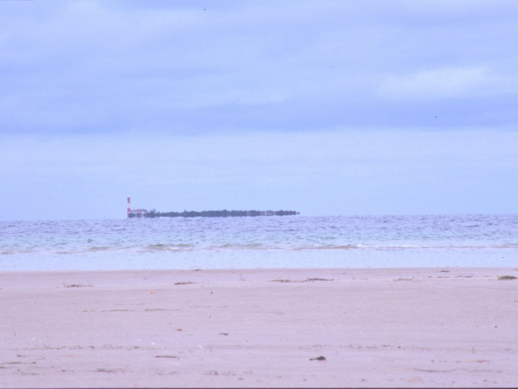
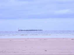
Troubridge
Shoal as seen
from Edithburgh on the
mainland.
|
|
Friends of Troubridge Island
Mrs Carmel Paxton
Edith Street
Editburgh SA 5583
|
|
|
| Technical / Historical Details | | Nearest Town | Edithburgh | Height - Elevation | 25.0m (82ft) - 24.1m (79ft) | | Lat/Long: | 35°07'S 137°50'E | Lantern | | | Construction | Prefabricated Iron | Lens | 2nd order | | Built | 1856 | Character | | | First Lit | | Range NM | | | Automated | 1980 | | | | De-activated | 2002 | Open | Grounds only | | Architect | | Access | By boat | | Reference | | Accommodation | Yes | | Sources: | | | Other Links: | | |
|